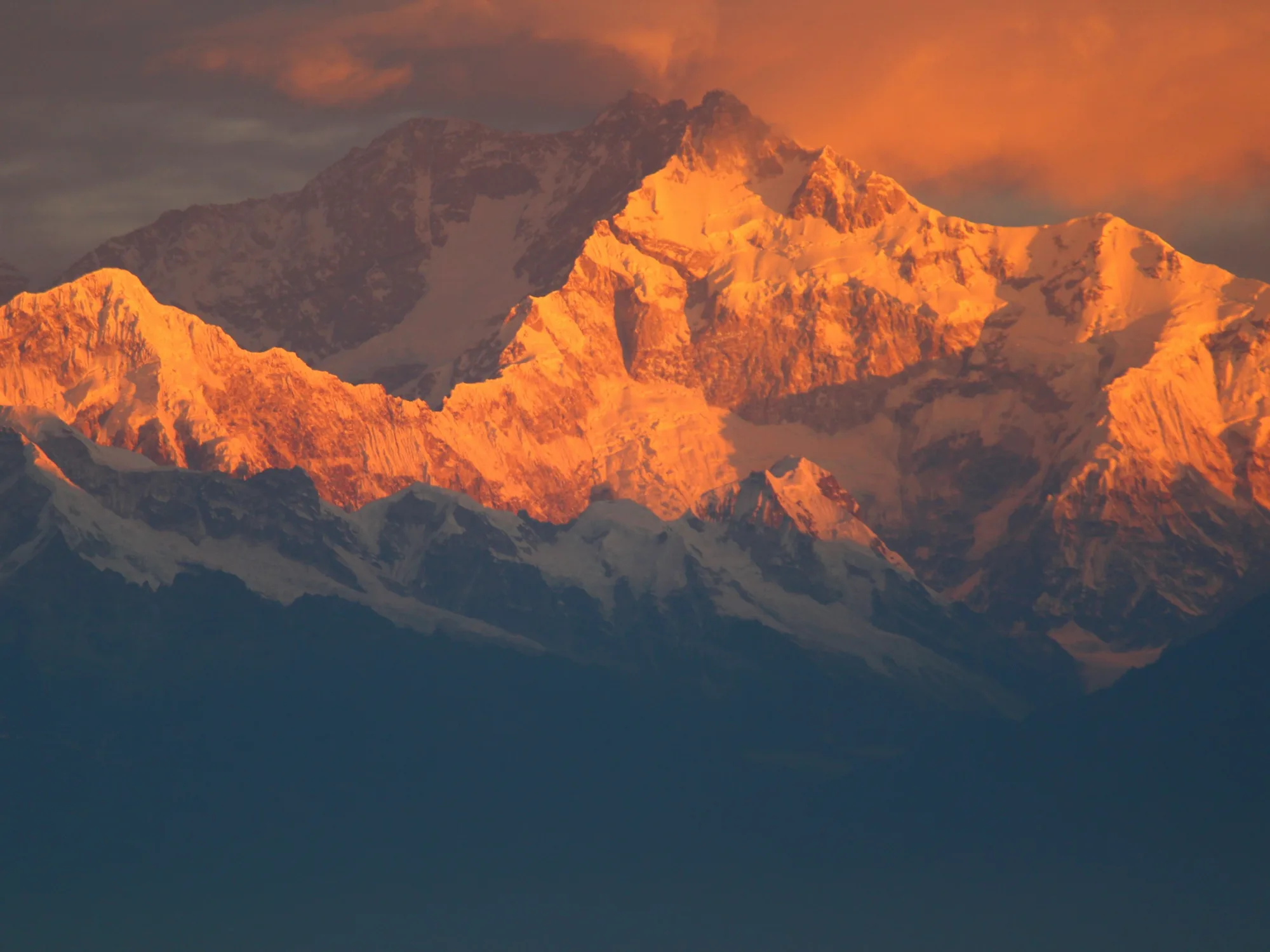
Yala Peak: a first trekking peak in Langtang for operators
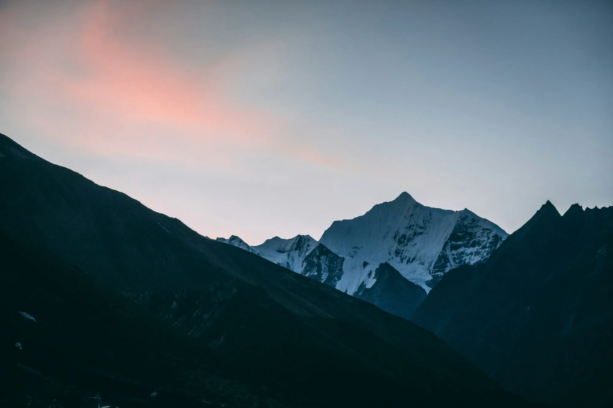
Yala Peak (about 5,500 m) above Kyanjin Gompa in Langtang is a non-technical first summit reached by road from Kathmandu and a three or four day walk up the valley. It is not on the NMA list of 27 peaks and, being below 5,800 m, needs no climbing permit, but Langtang National Park entry, a TIMS card and a licensed guide still apply. After the August 2026 floods, confirm road and trail access before each departure.
| Summit height | About 5,500 m in mountain references; 5,520 m and 5,732 m also printed by operatorsSource: Yala Peak, Wikipedia (checked 15 Nov 2026) |
|---|---|
| NMA status | Not on the NMA list of 27 peaks, so no NMA height or group appliesSource: Nepal Mountaineering Association, NMA peaks list (checked 15 Nov 2026) |
| Climbing permit | Not required: peaks below 5,800 m need no climbing permitSource: Nepal Tourism Board, mountaineering page (checked 15 Nov 2026) |
| Langtang National Park entry | NPR 3,000 foreigners, NPR 1,500 SAARC nationals, per entry; under 10 freeSource: Nepal Tourism Board, park entry fees (checked 15 Nov 2026) |
| TIMS card | NPR 2,000 foreigners, NPR 1,000 SAARC nationals; issued via registered agencies; licensed guide required in LangtangSource: Nepal Tourism Board, TIMS card page (checked 15 Nov 2026) |
| Kyanjin Gompa | About 3,900 m; Yala Kharka base camp about 4,600 mSource: Yala Peak, Wikipedia (checked 15 Nov 2026) |
| Langtang reopening after 2026 floods | TAAN declared Langtang, Kyanjin and Gosaikunda open on 23 Oct 2026, with road approaches via Betrawati to Dhunche or Thulo SyabruSource: OnlineKhabar report of TAAN advisory, 23 Oct 2026 (checked 15 Nov 2026) |
| NMA peak list change | NMA collecting fees on 27 peaks by January 2016, six of its former 33 declared royalty-free; all 27 now listed are above 5,800 mSource: The Himalayan Times, 3 Jan 2016; NMA peaks list (checked 15 Nov 2026) |
Yala Peak is a good answer when an agent asks for a first Himalayan peak that does not need a flight, a glacier course or a three week holiday. It rises above Kyanjin Gompa at the head of the Langtang Valley, north of Kathmandu, and the normal route is a non-technical ascent, with possible snow on the upper slopes depending on season, rather than a climb on ropes. For a group that has trekked before but never stood on a summit, it is an honest introduction to high altitude, early starts and summit day discipline. This guide covers what overseas operators need to plan: the height question, why the peak suits beginners, the route via Kyanjin Gompa, the permit position as checked on 15 November 2026, the access situation after the 2026 Bhotekoshi floods, seasons, and how to package it for your market.
Yala Peak in brief
Yala sits in Langtang National Park in Rasuwa district. Groups drive from Kathmandu to the roadhead, walk up the Langtang Valley through Tamang villages to Kyanjin Gompa, acclimatise there, then move up to a base camp at Yala Kharka before a summit morning. Reference sources such as the Yala Peak entry on Wikipedia give the summit as 5,500 m, Kyanjin Gompa at about 3,900 m and Yala Kharka at about 4,600 m.
Why you will see three different heights
Brochures quote 5,500 m, 5,520 m and 5,732 m for the same peak, and some still describe it as an NMA Group B trekking peak. We checked the Nepal Mountaineering Association today. The NMA list of 27 peaks does not include Yala at all, so there is no current NMA height or NMA group to quote. The two peaks NMA groups under Langtang Himal are Ghanja La Chuli (Naya Kanga) at 5,863 m and Yubra Himal at 6,035 m. Mountain references give 5,500 m, which is the figure we recommend for client documents. The 5,732 m figure appears in older listings and is still widely copied; no current official source gives it. Whichever figure a client has seen, all three are below 5,800 m, which matters for the permit question below.
| Peak | Height | Region | Access | Permit | Technical level |
|---|---|---|---|---|---|
| Yala Peak | About 5,500 m (5,520 m and 5,732 m also printed) | Langtang, Rasuwa | Road from Kathmandu, then walk up the Langtang Valley to Kyanjin Gompa | No climbing permit (below 5,800 m); not on the NMA list | Non-technical; possible snow on the upper slopes depending on season |
| Naya Kanga (Ghanja La Chuli) | 5,863 m (NMA list) | Langtang Himal, Rasuwa and Sindhupalchok | Same road and valley, then Kyanjin Gompa to Ganja La base camp | NMA permit | Steeper and more committing than Yala; a good second peak |
| Island Peak (Imja Tse) | 6,160 m (NMA list) | Khumbu Himal, Solukhumbu | Flight to Lukla, trek via Dingboche and Chhukung | NMA permit | Glacier, ladders, fixed rope headwall, exposed ridge |
| Mera Peak | 6,470 m (NMA list) | Khumbu Himal, Solukhumbu | Flight to Lukla, trek via Kothe and Khare | NMA permit | Long glacier ascent, not steep but very high |
For the two Khumbu peaks in the table, our Island Peak operator guide and Mera Peak operator guide set out permits, fees and acclimatisation in detail.
Why Yala suits groups new to peaks
Yala works for beginners for four practical reasons, and none of them is that it is easy. Summit day at 5,500 m is still hard work for anyone flying in from sea level.
- No flight dependency. The programme starts and ends with a drive, so there are no Lukla weather delays to absorb. In a normal year that makes the dates more predictable than a Khumbu peak, although 2026 has shown that the road has its own risks.
- A non-technical route. The normal line is a non-technical ascent up moraine and open slopes to the summit, with possible snow on the upper slopes depending on season, so we carry crampons, harnesses and a short rope in case the guide decides to fix a line. Clients do not need prior rope work, but a short skills session at Kyanjin Gompa is time well spent.
- Room to acclimatise. Kyanjin Gompa has lodges, a rest day there is easy to fill with a hike to a nearby viewpoint, and the base camp at Yala Kharka is a modest step up from it. That gives a sensible sleeping profile without extra cost.
- A short overall trip. Most programmes fit into about 10 to 12 days from Kathmandu, which is easier to sell to clients with limited leave than the 15 to 19 days an Island Peak programme usually needs.
It is less suitable for clients who want a glacier experience or a real climbing challenge. Those clients will be happier on Lobuche East or Island Peak, or on Naya Kanga from the same valley.
Route via Kyanjin Gompa
The classic approach is the Langtang Valley trek. Groups drive from Kathmandu to Syabrubesi, walk up the Langtang Khola through forest to the Lama Hotel area, continue to Langtang village and arrive at Kyanjin Gompa on the third or fourth walking day. The 2015 earthquake hit this valley hard: the Kathmandu Post notes that an avalanche from Langtang Lirung buried Langtang village and killed around 300 people, and that the area recovered gradually from 2018 as trails and hotels were rebuilt. Clients may ask about it, and the route passes through the rebuilt village.
A typical outline
- Kathmandu to the roadhead: a full day by private vehicle or jeep. Allow a long day, and longer after rain.
- Up the valley (two to three days): via Bamboo, the Lama Hotel area and Langtang village, gaining height steadily.
- Kyanjin Gompa (about 3,900 m): arrival, then a full acclimatisation day with a hike above the village and a kit and skills check.
- Yala Kharka base camp (about 4,600 m): a short move up, an early dinner and an early night.
- Summit day: a pre-dawn start, summit in the morning, then down to base camp or all the way to Kyanjin Gompa.
- Contingency day: held at Kyanjin Gompa for weather, illness or a second attempt.
- Return (two to three days): down the valley to the roadhead and the drive back to Kathmandu.
We plan sleeping altitude gains to the principles in our altitude itinerary design guide, and we do not shorten the Kyanjin Gompa rest day to save a night.
Access after the August 2026 floods
The Bhotekoshi floods of 26 August 2026 cut the Langtang Valley off from Dhunche, washing away bridges, roads and part of the Syabrubesi market area, according to the Kathmandu Post report of 2 September 2026. Trekkers were evacuated by helicopter and on foot. On 23 October 2026 the Trekking Agencies' Association of Nepal described Langtang, Kyanjin and Gosaikunda as open again, and OnlineKhabar's report of the TAAN advisory gives two approved approaches: by road via Trishuli and Betrawati to Dhunche or Thulo Syabru, then on foot via Bamboo and Lama Hotel; or the longer route over Helambu and Gosaikunda. If the road approach closes again, the longer Helambu approach remains an option.
For agents, the practical point is simple: the approach can change week to week, and the walk-in from Dhunche or Thulo Syabru adds time. We confirm whether vehicles can reach Syabrubesi, which trailhead to use and the condition of the lower valley trail in the week of departure and tell you before the group leaves home.
Operator tip: For the 2026 to 2027 seasons, price and sell Yala with one spare day on the approach as well as the summit contingency day. If the road to Syabrubesi is clear, use the spare day for extra acclimatisation at Kyanjin Gompa or a gentler return; if the group has to start from Dhunche or Thulo Syabru, the itinerary still holds without cutting rest days.
Permits and paperwork for Yala Peak
The permit position is the part most often misquoted. As checked on 15 November 2026:
- Climbing permit: none. The Nepal Tourism Board mountaineering page states that expeditions to peaks below 5,800 m do not require climbing permits, and Yala is not on the NMA peak list. By January 2016, The Himalayan Times reported that NMA was collecting fees on 27 peaks, while six others of the 33 it had handled since 1977 had recently been declared royalty-free. Yala no longer appears on the NMA list, and all 27 peaks now listed are above 5,800 m; the lowest is Khongma Tse at 5,849 m. If a supplier quotes an "NMA Yala permit", ask what it is for.
- Langtang National Park entry: NPR 3,000 per foreign visitor and NPR 1,500 for SAARC nationals per entry, with children under 10 free, according to the Nepal Tourism Board park entry fee page. The page gives no effective date, so we reconfirm the fee at the time of issue.
- TIMS card: NPR 2,000 per foreign trekker and NPR 1,000 for SAARC nationals, issued only through a government registered trekking agency as an eCard, according to the Nepal Tourism Board TIMS page. Because Yala carries no climbing permit, clients do not fall under the climbing permit exemption, so every member needs a TIMS card. Our TIMS card explainer covers the process.
- Licensed guide: since 2023, trekkers on listed routes in protected areas, Langtang included, must be accompanied by a licensed guide. See our note on the mandatory trekking guide rule.
We have not seen any 2025 or 2026 mountaineering rule change that affects Yala. Royalty changes since 2025 concern permit peaks, and Yala carries no royalty. If you add Naya Kanga to the programme, that peak does need an NMA permit and an NMA registered guide; ask us for the current NMA charge when you request a quote.
Season and weather
Autumn, from late September to November, and spring, from March to May, are the main seasons. Autumn gives the most settled weather and clearest views; spring is warmer, with more snow on the upper slopes early in the season and more afternoon cloud later. Winter is possible for hardy groups with good kit, but nights at Kyanjin Gompa and Yala Kharka are very cold and snow can make the summit section slow. We do not recommend the monsoon months from June to mid September: the views are poor, the trail is wet and the road from Kathmandu is exposed to landslides, as the 2026 season showed. Our month by month weather guide covers the patterns in more detail.
Safety, insurance and group size
Yala is non-technical, but the risks are real: altitude illness, cold, possible snow on the upper slopes, and in 2026 the condition of the access road and lower trail. Our recommended set-up is a licensed trekking guide with the group, an experienced climbing guide for summit day, assistant guides added to keep a sensible client to guide ratio on the summit, a turnaround time agreed the night before, and a clear plan for anyone who stops at base camp. Clients need travel insurance that names trekking and climbing to at least the summit altitude and covers helicopter evacuation; our trekking insurance guide lists what to check. There is no NMA party size cap because Yala is not an NMA peak, but lodges at Kyanjin Gompa and the space at base camp both favour groups of about 12 or fewer per departure.
For travel agents: how to package it
Yala works well as a short, contained programme or as the summit finale of a Langtang trek. When you build it into your range, cover the following.
- What to include: private transport both ways, Langtang National Park entry and TIMS card, a licensed trekking guide and climbing guide, porters, lodge accommodation in the valley, a camp at Yala Kharka if the group sleeps there, group climbing equipment, and a Kathmandu kit check before departure.
- Buffers: one summit contingency day at Kyanjin Gompa as standard, and for the 2026 to 2027 seasons one spare day on the approach. Do not book onward international flights the day after the group returns from Langtang.
- Who it suits: fit trekkers with at least one multi day trek behind them, school and university groups looking for a first summit, corporate groups wanting a short challenge close to Kathmandu, and clients testing their response to altitude before a 6,000 m peak.
- Who it does not suit: clients who want a glacier and rope experience, or anyone with no recent hill walking. Point the first group to Island Peak or Lobuche East and the second to a valley trek without the summit.
- Upsells: Naya Kanga as a second, harder peak from the same valley; a crossing to Gosaikunda; a cultural extension in Kathmandu; or a step up to a 6,000 m peak the following year, using Yala as the proving trip.
- Marketing language: describe it as a non-technical trekking peak of about 5,500 m, explain that published heights differ, and avoid promising a guaranteed summit.
For our wider climbing range, including NMA peaks and expedition support, see our climbing and expedition programmes.
If you would like a Yala Peak programme built around your dates, group size and market, with permits handled and the access situation confirmed before departure, talk to us about working together as a partner.
Frequently asked questions
Is Yala Peak good for beginners?
Yes, for fit clients who have trekked before. The normal route is non-technical, with possible snow on the upper slopes depending on season, and Kyanjin Gompa gives a good base for acclimatisation.
How long is the Yala Peak trip?
Most programmes run about 10 to 12 days from Kathmandu, including the drives, a rest day at Kyanjin Gompa and a contingency day. For the 2026 to 2027 seasons we add one spare day on the approach in case the walk-in has to start from Dhunche or Thulo Syabru.
What permit does Yala Peak need?
No climbing permit, because the Nepal Tourism Board states peaks below 5,800 m do not require one and Yala is not on the NMA peak list. Clients still need Langtang National Park entry, a TIMS card and a licensed guide.
What is the correct height of Yala Peak?
Mountain references give 5,500 m, while some operators print 5,520 m or 5,732 m. NMA does not list Yala, so there is no official NMA figure; all three numbers are below the 5,800 m permit threshold.
Is the Langtang Valley open after the 2026 floods?
TAAN declared Langtang, Kyanjin and Gosaikunda open on 23 October 2026, with approaches from Dhunche or Thulo Syabru. We confirm the road, the trailhead and the trail in the week of departure.
When is the best season for Yala Peak?
Autumn, from late September to November, and spring, from March to May. Winter is possible for well equipped groups, but we advise against the monsoon months because of landslide risk on the road.
Sources
- Nepal Mountaineering Association: NMA peaks list
- Nepal Tourism Board: Mountaineering
- Nepal Tourism Board: Park entry fees
- Nepal Tourism Board: TIMS card
- Wikipedia: Yala Peak
- The Kathmandu Post: Oft-battered Langtang Valley cut off after Rasuwa floods (2 Sep 2026)
- OnlineKhabar: Langtang and Manaslu trekking routes reopen, TAAN issues safety advisory (23 Oct 2026)
- The Himalayan Times: Supreme Court allows NMA to issue climbing permits for 33 peaks (3 Jan 2016)